It was very exciting in those days. We were explorers.
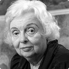
Marie Tharp (1920–)
Oceanographer
Faculty 1948–83
A pioneer of modern oceanography, Tharp was the first to map details of the ocean floor on a global scale. Her observations became crucial to the eventual acceptance of the theories of plate tectonics and continental drift in the earth sciences. Working with pens, ink and rulers, Tharp drew the underwater cartography, longitude degree by latitude degree, based on data from sonar readings taken by pioneering earth scientist Maurice Ewing and his team. Piecing maps together in the late 1940s and early 1950s, she and colleague Bruce Heezen discovered a 40,000-mile underwater ridge girdling the globe. By this finding, they laid the foundation for the conclusion from geophysical data that the sea floor spreads from central ridges and that the continents are in motion with respect to one another—a revolutionary geological theory at the time. Years later, satellite images proved Tharps maps to be accurate.
|